SUPPORT TRACK THE TROPICS
Over the last decade plus if you appreciate the information and tracking I provide during the season along with this website which donations help keep it running please consider a one time... recurring or yearly donation if you are able to help me out...
Venmo: @TrackTheTropicsLouisiana
Website: TrackTheTropics.com/DONATE
Venmo: @TrackTheTropicsLouisiana
Website: TrackTheTropics.com/DONATE
NOTE: If you do not see an image loaded below the model has not run yet for that specific time

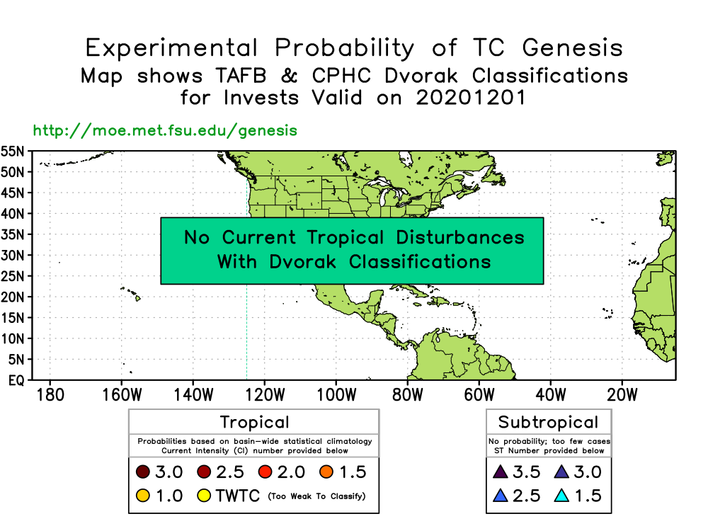

 00Z Runs of TC Genesis Probability
Ensemble-based Probability (%) of TC Genesis Consensus (NCEP, CMC and ECMWF)
0-48 Hours
00Z Runs of TC Genesis Probability
Ensemble-based Probability (%) of TC Genesis Consensus (NCEP, CMC and ECMWF)
0-48 Hours
 0-120 Hours
 120-240 Hours
 Ensemble-based Probability (%) of TC Genesis Consensus (NCEP)
0-48 Hours
Ensemble-based Probability (%) of TC Genesis Consensus (NCEP)
0-48 Hours
 0-120 Hours
 120-240 Hours
 12Z Runs of TC Genesis Probability
Ensemble-based Probability (%) of TC Genesis Consensus (NCEP, CMC and ECMWF)
0-48 Hours
12Z Runs of TC Genesis Probability
Ensemble-based Probability (%) of TC Genesis Consensus (NCEP, CMC and ECMWF)
0-48 Hours
 0-120 Hours
 120-240 Hours
 Ensemble-based Probability (%) of TC Genesis Consensus (NCEP)
0-48 Hours
Ensemble-based Probability (%) of TC Genesis Consensus (NCEP)
0-48 Hours
 0-120 Hours
 120-240 Hours
 NOAA 0-24 hour TC Formation Probability
 NOAA 0-48 hour TC Formation Probability
 The NOAA forecast/image above uses NCEP global forecasts, Reynolds weekly sea surface temperature, and GOES-East, GOES-West, MTSAT-1R and Meteosat-7 channel-3 (water vapor) imagery are used as input to an algorithm to estimate the probability of tropical cyclone formation within 500km of each grid point within the next 48 hours 45 S to 45 N and 0 to 360 E.
00Z Runs of TC Genesis Probability
Ensemble-based Probability (%) of TC Genesis Consensus (NCEP, CMC and ECMWF)
0-48 Hours
0-120 Hours
120-240 Hours
Ensemble-based Probability (%) of TC Genesis Consensus (NCEP)
0-48 Hours
0-120 Hours
120-240 Hours
12Z Runs of TC Genesis Probability
Ensemble-based Probability (%) of TC Genesis Consensus (NCEP, CMC and ECMWF)
0-48 Hours
0-120 Hours
120-240 Hours
Ensemble-based Probability (%) of TC Genesis Consensus (NCEP)
0-48 Hours
0-120 Hours
120-240 Hours
NOAA 0-24 hour TC Formation Probability
NOAA 0-48 hour TC Formation Probability
The NOAA forecast/image above uses NCEP global forecasts, Reynolds weekly sea surface temperature, and GOES-East, GOES-West, MTSAT-1R and Meteosat-7 channel-3 (water vapor) imagery are used as input to an algorithm to estimate the probability of tropical cyclone formation within 500km of each grid point within the next 48 hours 45 S to 45 N and 0 to 360 E.