0 Active Threats To Track
SUPPORT TRACK THE TROPICS
Over the last decade plus if you appreciate the information and tracking I provide during the season along with this website which donations help keep it running please consider a one time... recurring or yearly donation if you are able to help me out...
Venmo: @TrackTheTropicsLouisiana
Website: TrackTheTropics.com/DONATE
Venmo: @TrackTheTropicsLouisiana
Website: TrackTheTropics.com/DONATE
Current Tropics Activity (hidden template)
| U.S. THREAT | Active Storm |
| ALERT | Active Storm |
| ALERT | Active Invest 90L |
| WATCHING | 1 Area Of Interest |
Track The Tropics is the #1 source to track the tropics 24/7! Since 2013 the main goal of the site is to bring all of the important links and graphics to ONE PLACE so you can keep up to date on any threats to land during the Atlantic Hurricane Season! Hurricane Season 2025 in the Atlantic starts on June 1st and ends on November 30th. Do you love Spaghetti Models? Well you've come to the right place!! Remember when you're preparing for a storm: Run from the water; hide from the wind!
Tropical Atlantic Weather Resources
- NOAA National Hurricane Center
- International Meteorology Database
- FSU Tropical Cyclone Track Probabilities
- Brian McNoldy Atlantic Headquarters
- Brian McNoldy Tropical Satellite Sectors
- Brian McNoldy Infrared Hovmoller
- Brian McNoldy Past TC Radar Loops
- Weather Nerds Models/ TC Guidance/ Sat
- Twister Data Model Guidance
- NOAA Tropical Cyclone Tracks
- Albany GFS/ EURO Models/ Ensembles
- Albany Tropical Cyclone Guidance
- Albany Tropical Atlantic Model Maps
- Pivotal Weather Model Guidance
- Weather Online Model Guidance
- UKMet Model Guidance/ Analysis/ Sat
- ECMWF (EURO) Model Guidance/ Analysis
- FSU Tropical Model Outputs
- FSU Tropical Cyclone Genesis
- Penn State Tropical E-Wall
- NOAA HFIP Ruc Models
- Navy NRL TC Page
- College of DuPage Model Guidance
- WXCharts Model Guidance
- NOAA NHC Analysis Tools
- NOAA NHC ATCF Directory
- NOAA NCEP/EMC Cyclogenesis Tracking
- NOAA NCEP/EMC HWRF Model
- NOAA HFIP Model Products
- University of Miami Ocean Heat Content
- COLA Max Potential Hurricane Intensity
- Colorado State RAMMB TC Tracking
- Colorado State RAMMB Tropical Floaters
- Colorado State RAMMB GOES-16 Viewer
- NOAA NESDIS GOES Satellite
- ASCAT Ocean Surface Winds METOP-A
- ASCAT Ocean Surface Winds METOP-B
- Michael Ventrice Waves / MJO Maps
- TropicalAtlantic.com Analysis / Recon
- NCAR/RAL Tropical Cyclone Guidance
- CyclonicWX Tropical Resources
Main Menu
- 2023 Atlantic Hurricane Season Main Page
- Official Atlantic Tracking Chart
- Support Track The Tropics!
- Tropical Weather Outlook
- Interactive Tracking Map
- Live Current and Future Winds
- Gulf / East Coast and Atlantic Satellite
- Africa / East Atlantic Satellite Loops
- Gulf of Mexico and East Coast Radar
- Current Tropical Surface Analysis Maps
- Future Tropical Surface Analysis Maps
- Sea Surface Temperatures (SSTs)
- Atlantic Wind Shear
- Current Wind Direction Steering
- Precipitation Totals Forecasts
- Saharan Air Layer (SAL) Tracking
- MJO Model Forecasts
- El Niño & La Niña Status and Forecasts
- Real Time Buoy and Oil Rig Data
- Real Time Storm Surge Maps and Info
- Hurricane Season News / Blog
- 2018 – 2023 Hurricane Season Names
- 2019 Hurricane Season Storms
- Important Weather Links
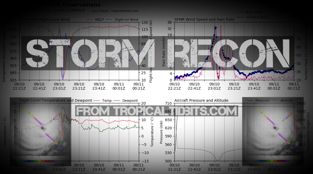
Storm Recon
Learn and Prepare for Hurricanes
Cyclone Archive Pages and Links
Latest Posts on the LHC Blog
Saffir-Simpson Hurricane Scale
| Category | Wind Speed (mph) | Storm Surge (ft) |
| 5 | ≥157 | >18 |
| 4 | 130–156 | 13–18 |
| 3 | 111–129 | 9–12 |
| 2 | 96–110 | 6–8 |
| 1 | 74–95 | 4–5 |
| Additional Classifications | ||
| Tropical Storm | 39–73 | 0–3 |
| Tropical Depression | 0–38 | 0 |
Hurricane Season 101
The official Atlantic Basin Hurricane Season runs from June 1st to November 30th. A tropical cyclone is a warm-core, low pressure system without any “front” attached. It develops over tropical or subtropical waters, and has an organized circulation. Depending upon location, tropical cyclones have different names around the world. The Tropical Cyclones we track in the Atlantic basin are called Tropical Depressions, Tropical Storms and Hurricanes! Atlantic Basin Tropical Cyclones are classified as follows: Tropical Depression: Organized system of clouds and thunderstorms with defined surface circulation and max sustained winds of 38 mph or less. Tropical Storm: Organized system of strong thunderstorms with a defined surface circulation and maximum sustained winds of 39-73 mph. Hurricane: Intense tropical weather system of strong thunderstorms with a well-defined surface circulation. A Hurricane has max sustained winds of 74 mph or higher!The difference between Tropical Storm and Hurricane Watches, Warnings, Advisories and Outlooks
Warnings: Listen closely to instructions from local officials on TV, radio, cell phones or other computers for instructions from local officials. Evacuate immediately if told to do so.- Storm Surge Warning: There is a danger of life-threatening inundation from rising water moving inland from the shoreline somewhere within the specified area. This is generally within 36 hours. If you are under a storm surge warning, check for evacuation orders from your local officials.
- Hurricane Warning: Hurricane conditions (sustained winds of 74 mph or greater) are expected somewhere within the specified area. NHC issues a hurricane warning 36 hours in advance of tropical storm-force winds to give you time to complete your preparations. All preparations should be complete. Evacuate immediately if so ordered.
- Tropical Storm Warning: Tropical storm conditions (sustained winds of 39 to 73 mph) are expected within your area within 36 hours.
- Extreme Wind Warning: Extreme sustained winds of a major hurricane (115 mph or greater), usually associated with the eyewall, are expected to begin within an hour. Take immediate shelter in the interior portion of a well-built structure.
Watches: Listen closely to instructions from local officials on TV, radio, cell phones or other computers for instructions from local officials. Evacuate if told to do so.
- Storm Surge Watch: Storm here is a possibility of life-threatening inundation from rising water moving inland from the shoreline somewhere within the specified area, generally within 48 hours. If you are under a storm surge watch, check for evacuation orders from your local officials.
- Hurricane Watch: Huriricane conditions (sustained winds of 74 mph or greater) are possible within your area. Because it may not be safe to prepare for a hurricane once winds reach tropical storm force, The NHC issues hurricane watches 48 hours before it anticipates tropical storm-force winds.
- Tropical Storm Watch: Tropical storm conditions (sustained winds of 39 to 73 mph) are possible within the specified area within 48 hours.
- Tropical Cyclone Public Advisory:The Tropical Cyclone Public Advisory contains a list of all current coastal watches and warnings associated with an ongoing or potential tropical cyclone, a post-tropical cyclone, or a subtropical cyclone. It also provides the cyclone position, maximum sustained winds, current motion, and a description of the hazards associated with the storm.
- Tropical Cyclone Track Forecast Cone:This graphic shows areas under tropical storm and hurricane watches and warnings, the current position of the center of the storm, and its predicted track. Forecast uncertainty is conveyed on the graphic by a “cone” (white and stippled areas) drawn such that the center of the storm will remain within the cone about 60 to 70 percent of the time. Remember, the effects of a tropical cyclone can span hundreds of miles. Areas well outside of the cone often experience hazards such as tornadoes or inland flooding from heavy rain.
- Tropical Weather Outlook:The Tropical Weather Outlook is a discussion of significant areas of disturbed weather and their potential for development during the next 5 days. The Outlook includes a categorical forecast of the probability of tropical cyclone formation during the first 48 hours and during the entire 5-day forecast period. You can also find graphical versions of the 2-day and 5-day Outlook here
TrackTheTropics Resource Links
- National Hurricane Center
- Tropical Tidbits
- CIMSS Tropical Group
- Tropical Atlantic
- NASA Earth
- Intellicast
- NOAA WPC
- UWM Hurricane Models
- South Florida Hurricane Models
- Accuweather
- Weather.com
- FSU TC Models
- NOAA TC Probability
- NCEP/EMC Cyclogenesis Tracking
- NOAA GOES East Imagery
- Unisys Hurricane Data
- PSU Tropical Group
- Weather Underground
- NOAA NESDIS
- NRL Tropical Cyclone Page
- Storm Surfing
- GMU WxMaps
CONUS Hurricane Strikes
![[Map of 1950-2017 CONUS Hurricane Strikes]](http://www.nhc.noaa.gov/climo/images/conus_strikes.jpg)
Total Hurricane Strikes 1900-2010

Total MAJOR Hurricane Strikes 1900-2010

Western Gulf Hurricane Strikes

Western Gulf MAJOR Hurricane Strikes

Eastern Gulf Hurricane Strikes

Eastern Gulf MAJOR Hurricane Strikes

SE Coast Hurricane Strikes

SE Coast MAJOR Hurricane Strikes

NE Coast Hurricane Strikes

NE Coast MAJOR Hurricane Strikes

5 Major Changes In 2017 Coming to Hurricane Season Forecasts
As the 2017 Hurricane Season approaches the NHC has announced 5 major changes coming in 2017, with some of the improvements having been in the works for decades!
1.) The Issuing Of Watches, Warnings and Advisories Before Storms Even Form.
The NHC will issue advisories for systems that have yet to develop but pose a threat of bringing tropical-storm-force or hurricane-force winds to land areas within 48 hours. These systems will be dubbed "potential tropical cyclones" by the NHC. Under previous longstanding NWS policy, it has not been permitted to issue a hurricane or tropical storm watch or warning until after a tropical cyclone had formed. Advances in forecasting over the past decade or so, however, now allow the confident prediction of tropical cyclone impacts while these systems are still in the developmental stage. For these land-threatening “potential tropical cyclones”, NHC will now issue the full suite of text, graphical, and watch/warning products that previously has only been issued for
ongoing tropical cyclones.
The "potential tropical cyclones" will be treated like tropical depressions, named storms and hurricanes. NHC will produce a forecast projected path, watches and warnings and text products, including a full discussion and the forecast advisory every six hours until the threat ends. Advisories will be issued for potential tropical cyclones at 5 a.m., 11 a.m., 5 p.m. and 11 p.m. EDT. Here is an Example of a Potential Tropical Cyclone Public Advisory.
Ed Piotrowski on Twitter @EdPiotrowski @NHCDirector: “In 2017, advisories will be issued for potential tropical cyclones, especially for those close to land” #SCEMA17

2.) Time of Arrival of Tropical-Storm-Force Winds Experimental Graphic
The arrival time of Tropical Storm forced winds are critical especially for coastal communities since many preparedness precautions and activities become dangerous after these winds arrive. The NHC will be directly forecasting when tropical-storm-force winds will begin by issuing in 2017 an experimental Time of Arrival of Tropical-Storm-Force Winds graphics.
These graphics will be driven by the same Monte Carlo wind speed probability model that is currently used to determine the risk of tropical-stormand hurricane-force winds at individual locations – a model in which 1000 plausible scenarios are constructed using the official NHC tropical cyclone forecast and its historical errors.
The primary graphic displays the “earliest reasonable” arrival time, identifying the time window that users at individual locations can safely assume will be free from tropical-storm-force winds. Specifically, this is the time that has no more than a 1-in-10 (10%) chance of seeing the onset of sustained tropical-storm-force winds – the period during which preparations should ideally be completed for those with a low tolerance for risk. A second graphic will show the “most likely” arrival time – that is, the time before or after which the onset of tropical-storm-force winds is equally likely. This would be more appropriate for users who are willing to risk not having completed their preparations before the storm arrives.
Users will also be able to overlay the standard wind speed probabilities, providing a single combined depiction of the likelihood of tropical-storm-force winds at individual locations, along with their possible or likely arrival times. An example of these graphics is shown below.

3.) The Cone of Uncertainty Will Be Smaller
Each year, the NHC adjusts the size of its cone of uncertainty based on its average error over the previous five hurricane seasons. The cone of uncertainty refers to the projected path map you frequently see on the internet or television for a given storm.
The cone encapsulates 66 percent of the historical forecast track errors, and does not represent where impacts like surge, wind, flooding or tornadoes will be felt.
For the 2017 Atlantic hurricane season, the NHC will use the average track error for the 2012-2016 hurricane seasons. Track errors have gone down over the last 10 years and forecasts have gotten better as well. In fact, since 2007, the size of the cone of uncertainty at 120 hours (or five days) has shrunk by more than 35 percent. Since last year, the size of the cone at five days has shrunk by more than 10 percent. Similar reductions in size were seen from 2016 to 2017.

4.) Storm Surge Watch/Warning Becomes Operational
The National Weather Service (NWS) will issue storm surge watches and warnings for the Atlantic and Gulf coasts in the event that significant risk of life-threatening inundation develops from any stage of a tropical, subtropical or potential cyclone.
According to the NHC, " Storm surge is often the greatest threat to life and property from a tropical cyclone, and it doesn’t always occur at the same times or locations as a storm’s hazardous winds."

The definitions for the new storm surge watch and warning are:
Storm Surge Watch: The possibility of life-threatening inundation from rising water moving inland from the shoreline somewhere within the specified area, generally within 48 hours, in association with an ongoing or potential tropical cyclone, a subtropical cyclone, or a post-tropical cyclone. The watch may be issued earlier when other conditions, such as the onset of tropical storm-force
winds, are expected to limit the time available to take protective actions for surge (e.g., evacuations). The watch may also be issued for locations not expected to receive life-threatening inundation, but which could potentially be isolated by inundation in adjacent areas.
Storm Surge Warning: The danger of life-threatening inundation from rising water moving inland from the shoreline somewhere within the specified area, generally within 36 hours, in association with an ongoing or potential tropical cyclone, a subtropical cyclone, or a post-tropical cyclone. The warning may be issued earlier when other conditions, such as the onset of tropical storm force
winds, are expected to limit the time available to take protective actions for surge (e.g., evacuations). The warning may also be issued for locations not expected to receive life threatening inundation, but which could potentially be isolated by inundation in adjacent areas.
5.) Improved Tropical Cyclone Advisory Graphical Products
The NHC has updated the look of its tropical cyclone advisory graphics. The suite now has a consistent look across the various graphics, with cleaner fonts and softer colors. One significant enhancement is the addition of the current extent of hurricane- and tropical-storm-force winds to the cone graphic, which will help illustrate that hazardous conditions can occur well outside of the
track forecast cone. In addition, a set of radio buttons will allow users to toggle on and off various elements of the cone graphic. Examples of the NHC tropical cyclone graphics can be found at: http://www.nhc.noaa.gov/aboutnhcgraphics.shtml
