Track The Tropics is the #1 source to track the tropics 24/7! Since 2013 the main goal of the site is to bring all of the important links and graphics to ONE PLACE so you can keep up to date on any threats to land during the Atlantic Hurricane Season! Hurricane Season 2025 in the Atlantic starts on June 1st and ends on November 30th. Do you love Spaghetti Models? Well you've come to the right place!! Remember when you're preparing for a storm: Run from the water; hide from the wind!
Main Menu
- 2023 Atlantic Hurricane Season Main Page
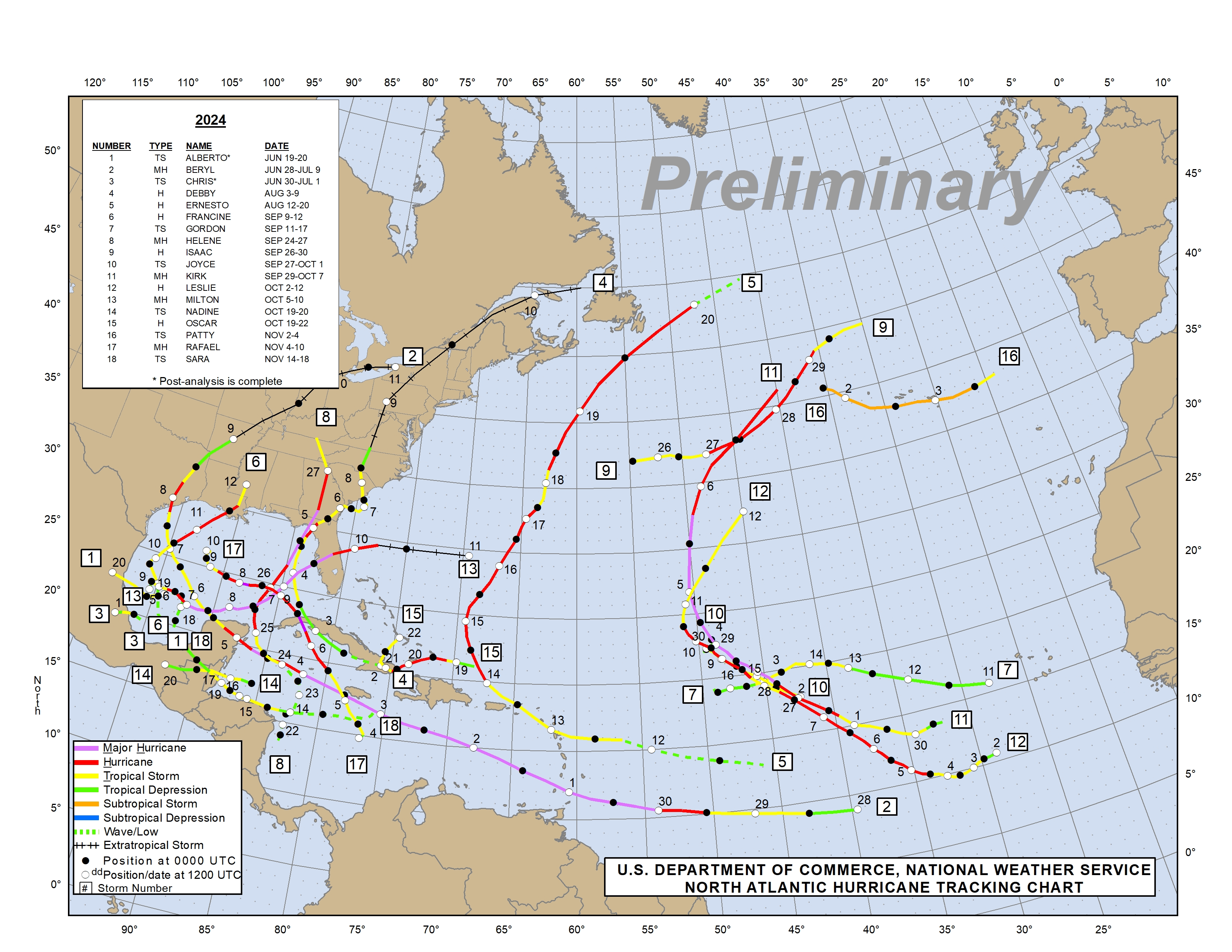
- Official Atlantic Tracking Chart
- Support Track The Tropics!
- Tropical Weather Outlook
- Interactive Tracking Map
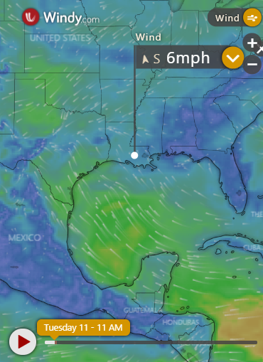
- Live Current and Future Winds
- Gulf / East Coast and Atlantic Satellite
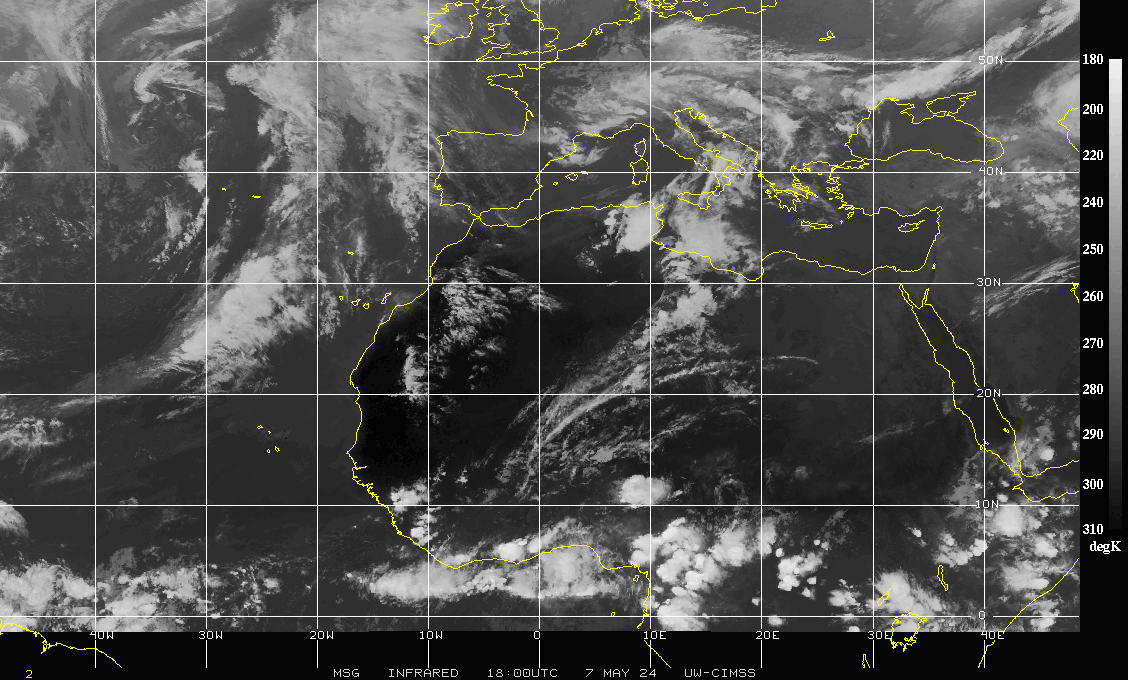
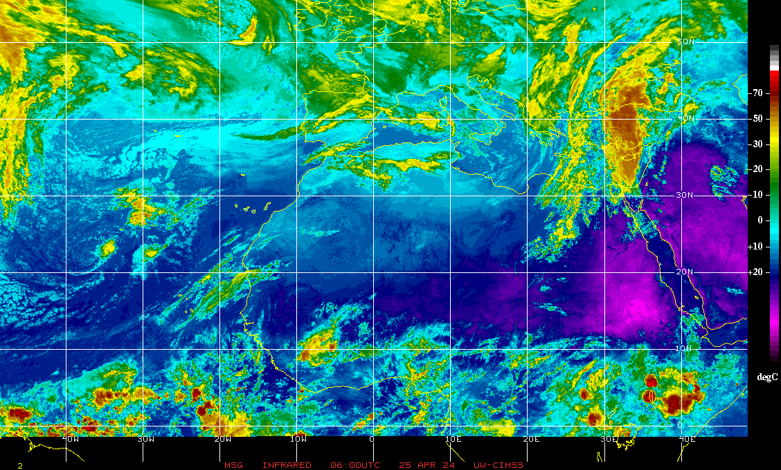
- Africa / East Atlantic Satellite Loops
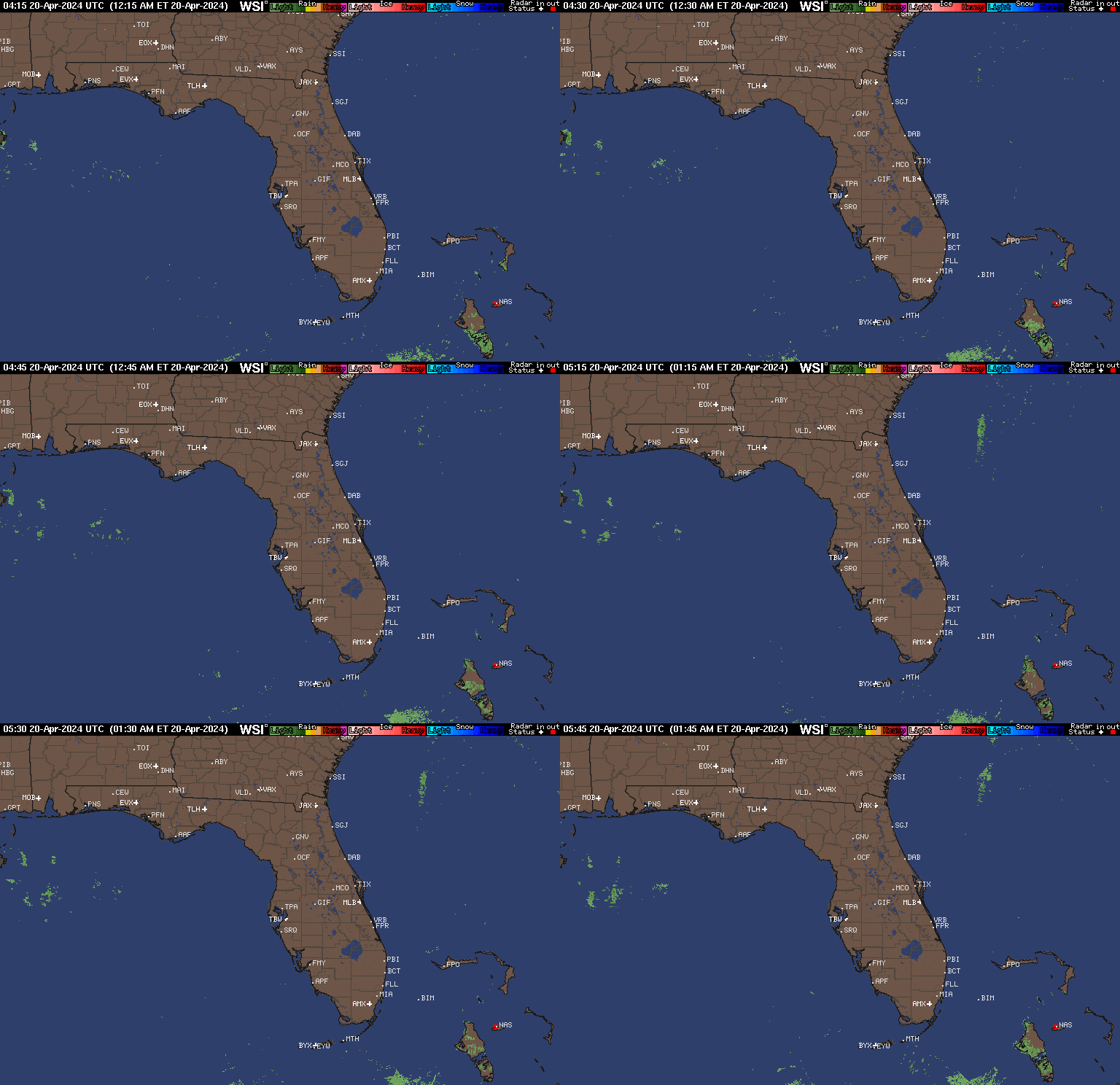
- Gulf of Mexico and East Coast Radar
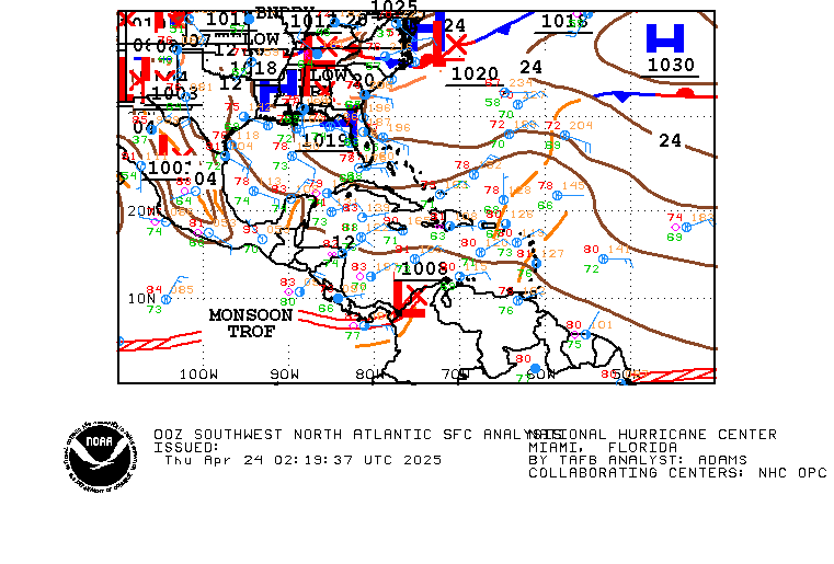
- Current Tropical Surface Analysis Maps
- Future Tropical Surface Analysis Maps
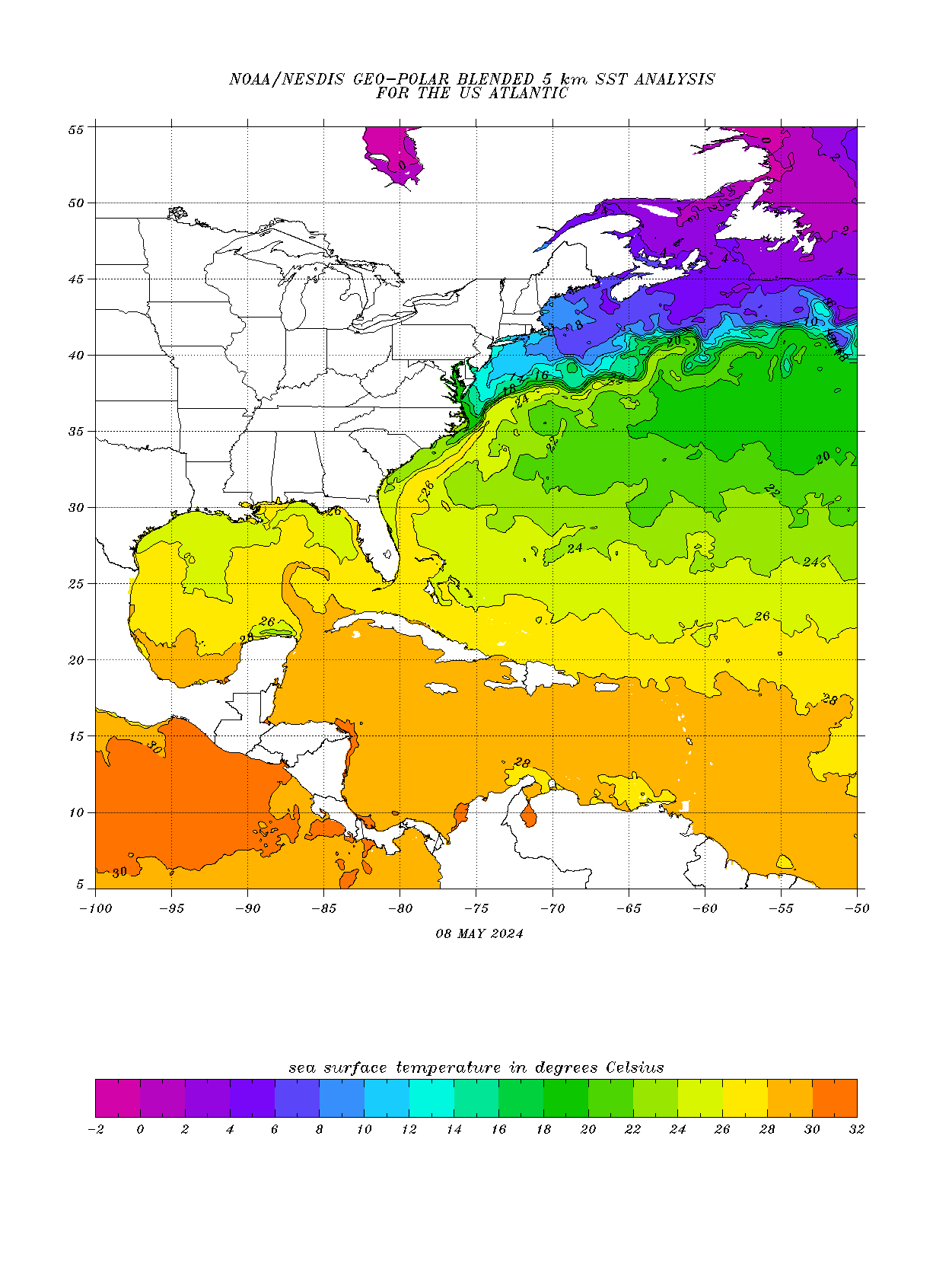
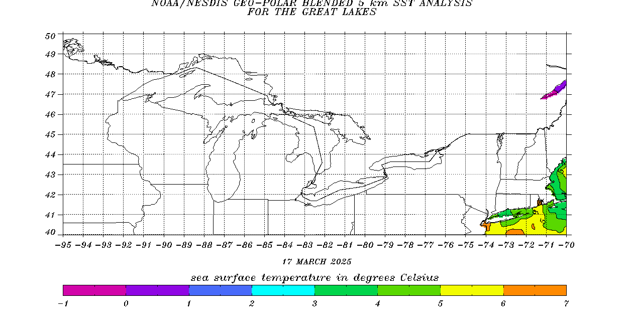
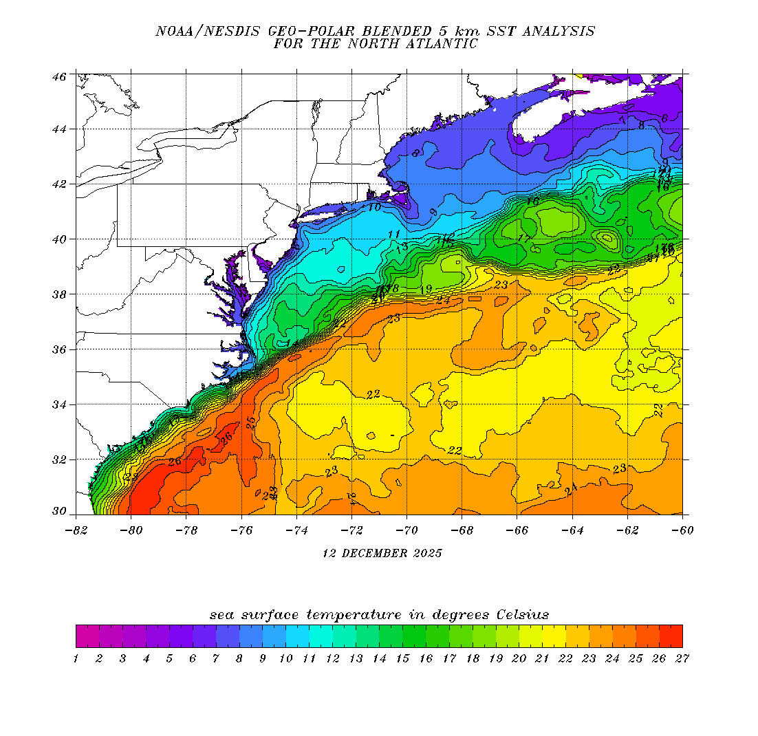
- Sea Surface Temperatures (SSTs)
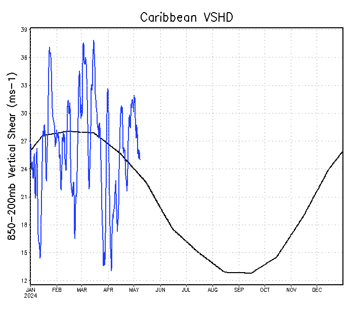
- Atlantic Wind Shear
- Current Wind Direction Steering
- Precipitation Totals Forecasts
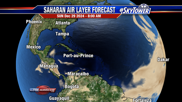
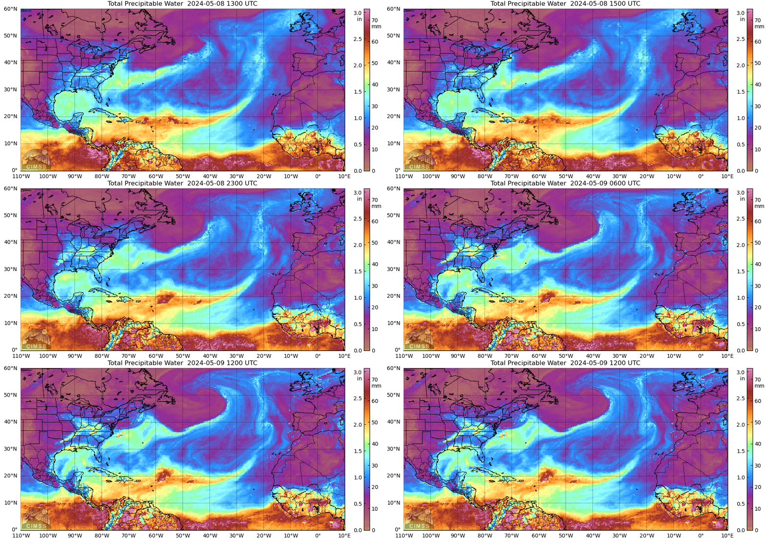
- Saharan Air Layer (SAL) Tracking
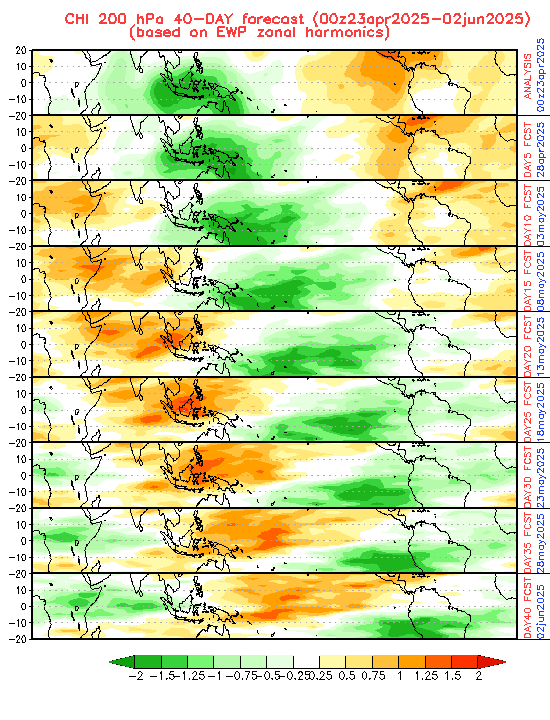
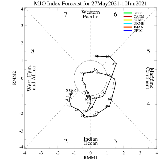
- MJO Model Forecasts
- El Niño & La Niña Status and Forecasts
- Real Time Buoy and Oil Rig Data
- Real Time Storm Surge Maps and Info
- Hurricane Season News / Blog
- 2018 – 2023 Hurricane Season Names
- 2019 Hurricane Season Storms
- Important Weather Links
Learn and Prepare for Hurricanes
Cyclone Archive Pages and Links
2025 Atlantic Hurricane Season – Track The Tropics
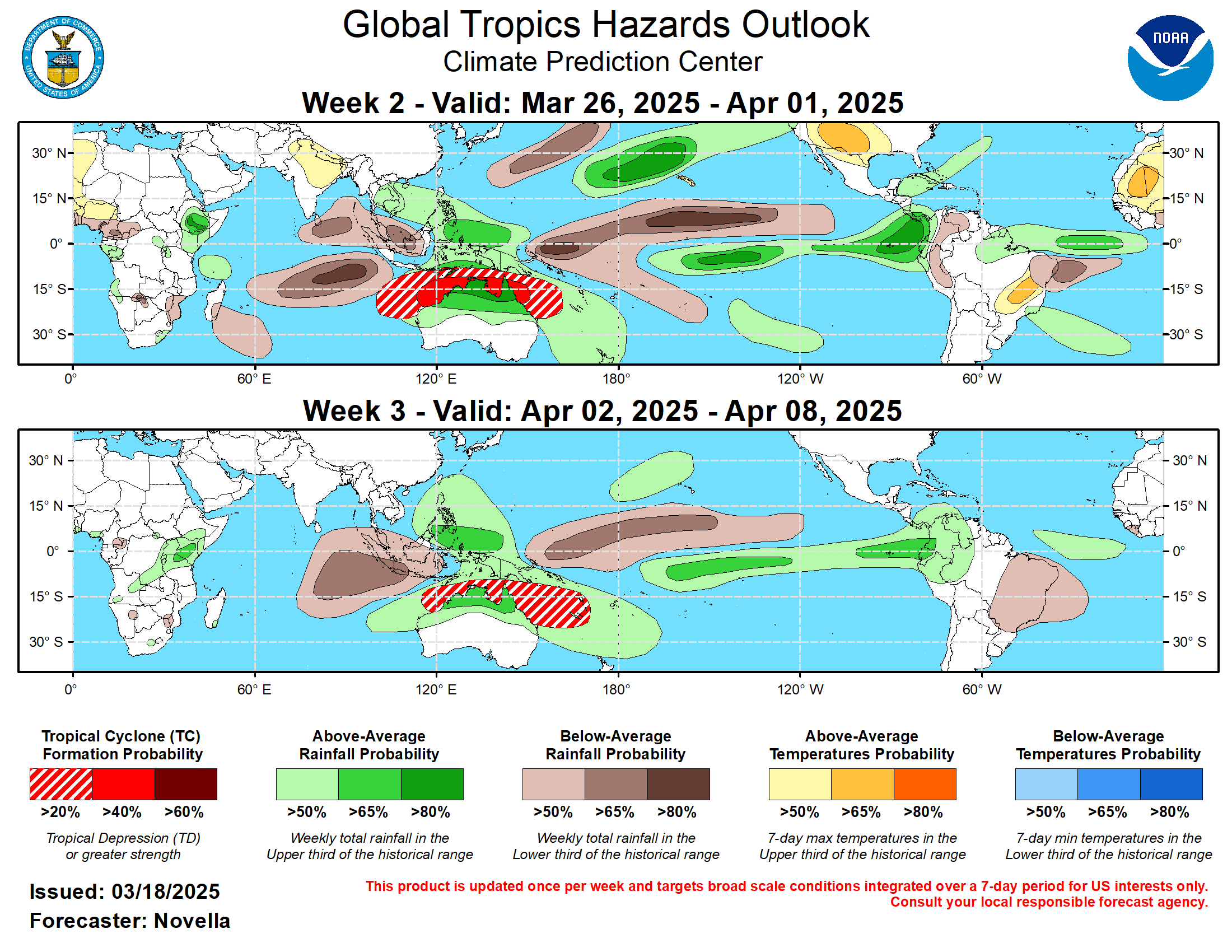
NOAA TC Formation Probability
NOAA 0-24 hour TC Formation Probability NOAA 0-48 hour TC Formation Probability
 VIEW ALL TC PROBABILITY RUNS
NOAA 0-24 hour TC Formation Probability
 NOAA 0-48 hour TC Formation Probability
 VIEW ALL TC PROBABILITY RUNS
Precipitation Forecasts
Next 24 Hours QPF Total

Next 5 days QPF Totals

Next 7 Days QPF Totals

View all Precipitation forecasts

Next 5 days QPF Totals

Next 7 Days QPF Totals

View all Precipitation forecasts
Atlantic Sea Height / Waves
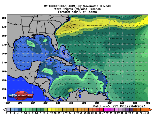

LINK: Stormsurfing.com Global Wave Height
LINK: Stormsurfing.com Atlantic Wave Height
LINK: CoolWX Current Gulf of Mexico Buoy Data
LINK: CoolWX Current SE Coast Buoy Data
LINK: CoolWX Current Caribbean Buoy Data


LINK: Stormsurfing.com Global Wave Height
LINK: Stormsurfing.com Atlantic Wave Height
LINK: CoolWX Current Gulf of Mexico Buoy Data
LINK: CoolWX Current SE Coast Buoy Data
LINK: CoolWX Current Caribbean Buoy Data
















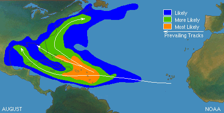
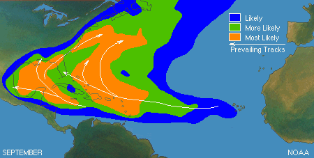
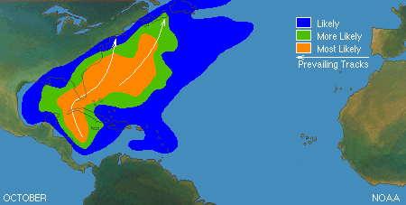
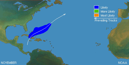








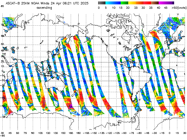
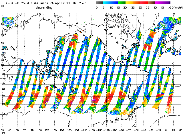
![[Map of return period in years for hurricanes passing within 50 nautical miles]](https://www.nhc.noaa.gov/climo/images/return_hurr_sm.jpg)
![[Map of return period in years for major hurricanes passing within 50 nautical miles]](https://www.nhc.noaa.gov/climo/images/return_mjrhurr_sm.jpg)

